

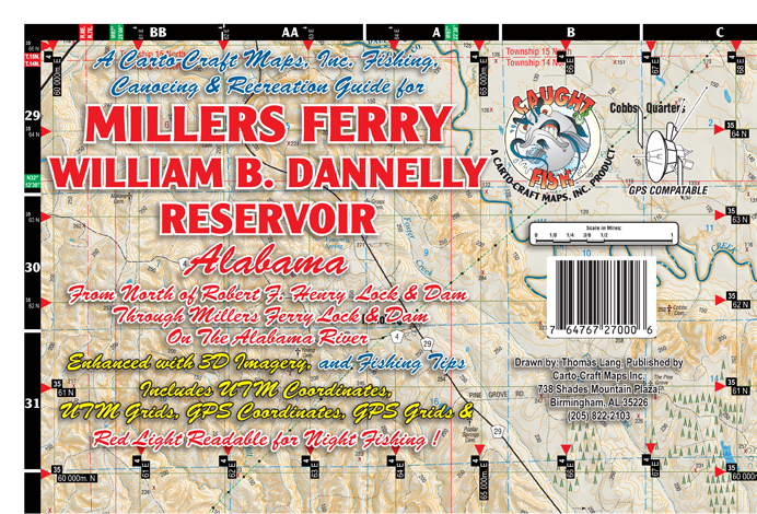
| Name: | Millers Ferry |
| Size: | 39"W x 24.5"H |
| Color: | Full Color |
| Retail Price |
Paper: $4.95 Water Proof: $8.95 Laminated Wall Map: $14.95 |
| *PRICES SUBJECT TO CHANGE AND DOES NOT INCLUDE SHIPPING AND HANDLING | |
| ADD TO CART | |
FEATURES
| Shaded Relief | |
| Regional Inset Map | |
| Red Light Readable | |
| Paper, Water Proof, and Laminated Wall Map Versions Available | |
| UTM Coordinates, UTM Grids, GPS Coordinates and GPS Grids | |
| Fishing Tips By Thomas Lang |
CLICK THUMBNAIL FOR LARGER SAMPLE
 |
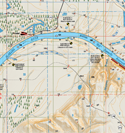 |
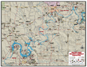
| REGIONAL INSET MAP | SHADED RELIEF MAP |
|
MILLERS FERRY WILLIAM B. DANNELLY RESERVOIR Millers Ferry is a 17,200-acre reservoir on the Alabama River impounded by the U.S. Army Corps of Engineers in 1969. The official name of this impoundment is William (Bill) Dannelly Reservoir; however, it is better known locally as "Millers Ferry." There are numerous public access areas located on the reservoir. Camping facilities are available at Corps of Engineers public use areas at East Bank, Six Mile, and Chilatchee Creek. Roland Cooper State Park offers camping, cabins, and a golf course. Millers Ferry Reservoir is a regionally important reservoir in southwest Alabama that provides quality fishing opportunities. Both largemouth bass and crappie fishing are considered excellent in this reservoir and channel catfish and blue catfish are frequent targets of local anglers. |