

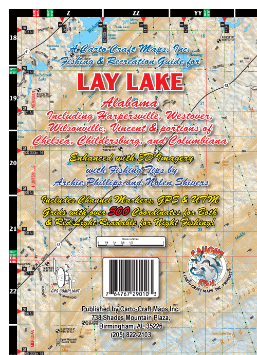
| Name: | Lay Lake |
| Size: | 28"W x 40"H |
| Color: | Full Color |
| Retail Price |
Paper: $4.95 Water Proof: $8.95 Laminated Wall Map: $14.95 |
| *PRICES SUBJECT TO CHANGE AND DOES NOT INCLUDE SHIPPING AND HANDLING | |
| ADD TO CART | |
FEATURES
| Shaded Relief | |
| Front with Contiguous Back | |
| Red Light Readable | |
| Paper, Water Proof, and Laminated Wall Map Versions Available | |
| 500+ GPS Points of Interest in The Sipsey Wilderness | |
| Fishing Tips By Archie Phillips and Nolen Shivers |
CLICK THUMBNAIL FOR LARGER SAMPLE
 |
 |
| SHADED RELIEF MAP FRONT |
CONTIGUOUS BACK |
|
LAY LAKE Lay Lake is a 12,000-acre reservoir with a shoreline to 289 miles is located thirty-five minutes south of Birmingham off I-65 and fifteen miles south of Columbiana in east-central Alabama. Lay Lake borders St. Clair, Talladega, Shelby, Coosa, and Chilton Counties. The primary uses for this reservoir are hydroelectric generation and recreation. Lay Lake is popular for tournament fishing and boating recreation. Lay Lake is best known for its spotted and largemouth bass fishing. |